Lyrics

William Brassey Hole (1846–1917)
First the line on coast we make;
Merom next, a marshy lake;
Then the Sea of Galilee,
Exactly west of Carmel, see.
The Jordan river flows thro’ both
To the Dead Sea on the south;
And the Great Sea westward lies
Stretching far as sunset skies.
Looking northward you may view
Lebanon and Hermon, too;
Carmel and Gilboa grim,
Tabor, Ebal, Gerizim.
Near Jerusalem we see
Olivet and Calvary.
Judea’s hills rise south and west
Of lonely Nebo’s lowering crest.
On Zion stands Jerusalem;
Six miles south is Bethlehem;
On Olive’s slopes is Beth-any,
Bethabara by Jordan see.
Our Savior drank at Sychar’s well;
Of boyhood days let Nazareth tell;
At Cana water turned to wine,
Showed our Lord to be divine.
Capernaum by Galilee,
Near its twin Bethsaida see;
Cæsarea Phillippi
At Hermon’s base is seen to lie;
Along the coast these three appear,
Gaza, Joppa, Cæsarea;
South to Bethel we may go,
To Hebron next and Jericho.
From heathen Tyre materials came
To build a temple to God’s name;
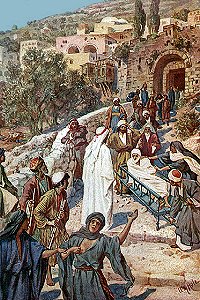
The sorrowing widow’s son at Nain
Jesus raised to life again.
See Dan, where Jordan’s waters rise,
Beersheba nearer tropic skies;
North and south these cities stand,
And mark the length of Israel’s land.